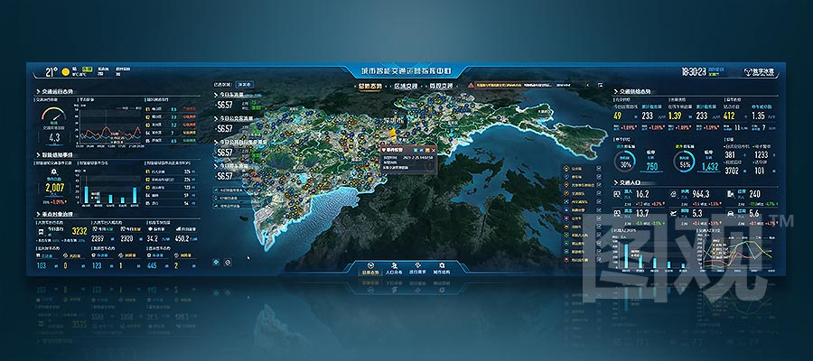
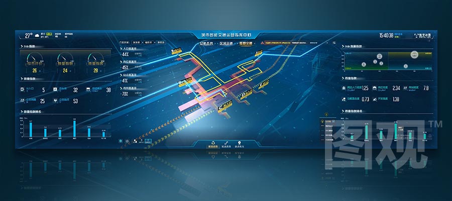
Support monitoring the distribution and status of urban transportation elements, and support selecting and viewing detailed information of objects such as motor targets, law enforcement personnel, and video surveillance; assist managers in comprehensively grasping the overall operation of transportation.
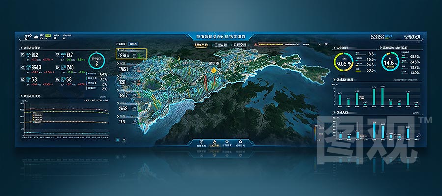
Support visual analysis of key indicators such as the geographical distribution and travel patterns of various population groups in the city through analysis methods such as heat maps and flow maps, and provide decision-making support for urban transportation demand analysis by combining visualization charts for comprehensive analysis.
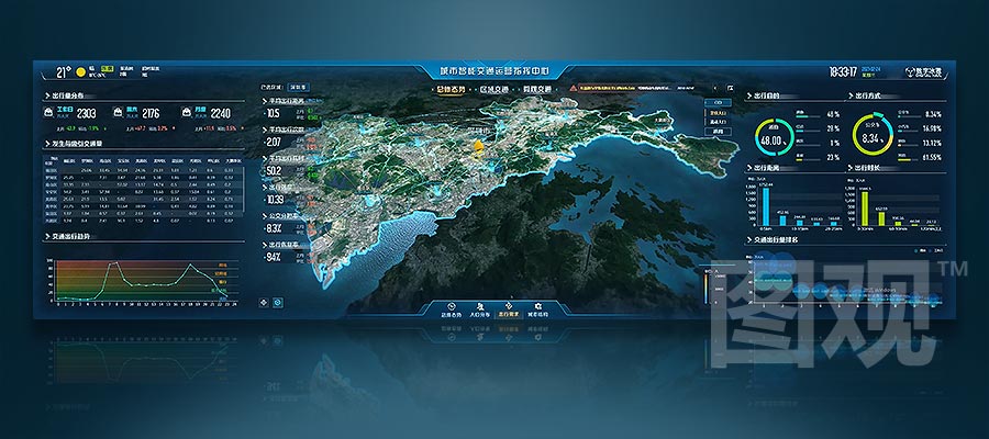
Supports real-time monitoring of population travel routes, modes of transportation, travel purposes, and other information. Based on professional model algorithms, it performs multidimensional analysis of key indicators to assist users in understanding urban travel demand, providing scientific basis for urban traffic planning business applications.
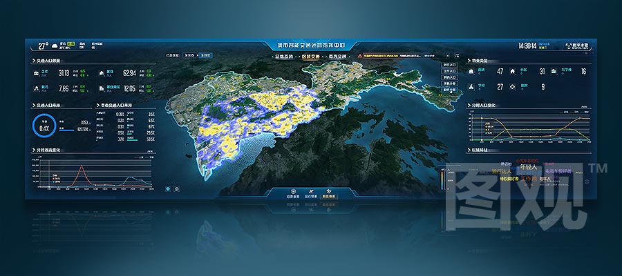
Support monitoring and analysis of residential population, work and residency management elements. Conduct multidimensional analysis on key indicators such as traffic volume/origin, property type, etc., to assist in exploring the relationship between the population and their work and residency within the jurisdiction.
Support the real-time reproduction of the surrounding environment of transport hubs, and allow for clicking to view detailed information on elements such as stations, video surveillance, etc. Conduct visual analysis of key indicators to assist managers in understanding the operating status of transport hubs and improve regulatory efficiency.
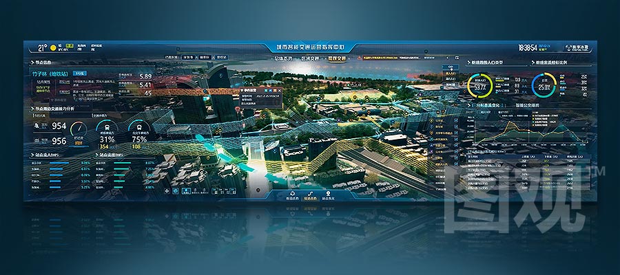
Support real-time monitoring of elements around hub stations. Conduct comprehensive analysis of key indicators such as traffic capacity, passenger flow, etc., to provide decision-making support for managers to analyze the transition between transport hubs and other modes of transportation.
By utilizing various analysis methods, conduct multidimensional analysis on key indicators such as passenger volume and radiation range of stations. Intelligently propose optimization solutions for each station to provide powerful support for managers to improve the level of transportation services.
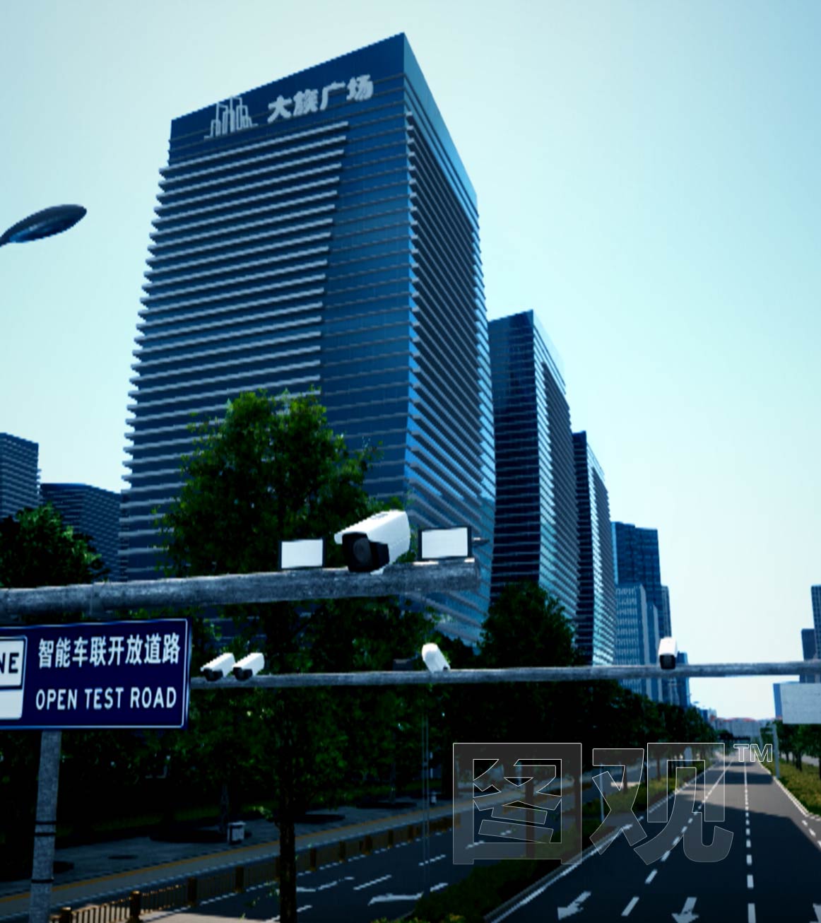
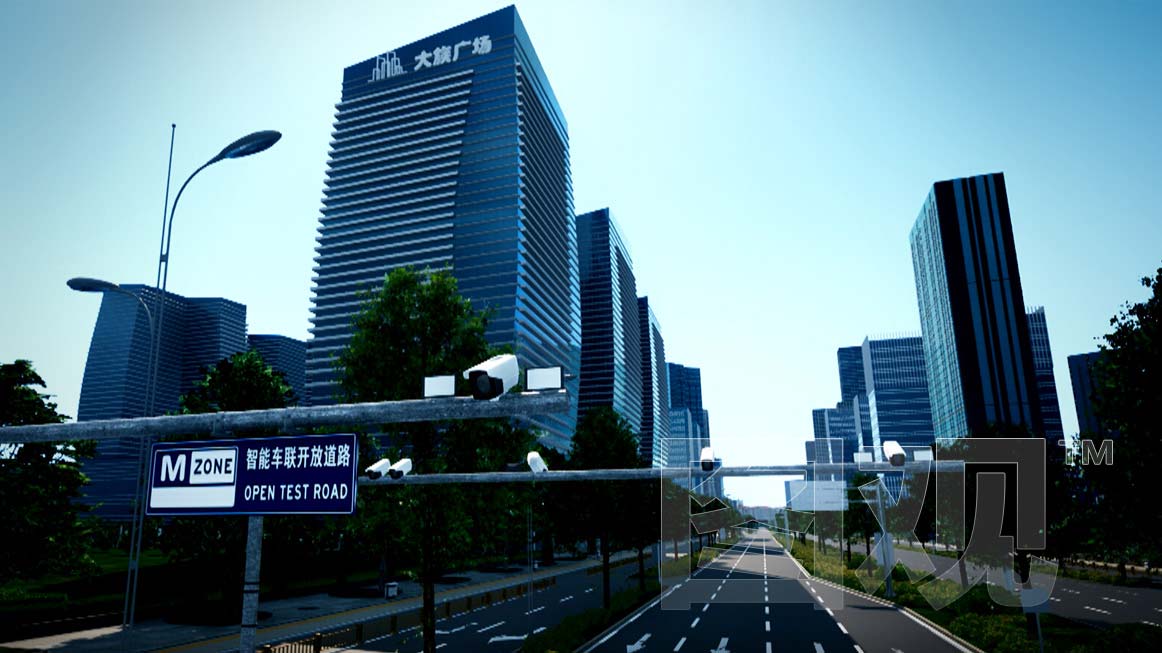
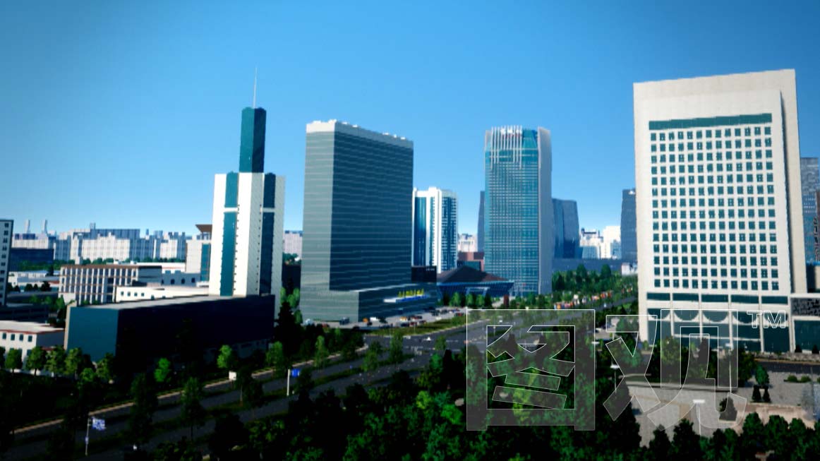
Real-time rendering of all elements within the full scope and highest accuracy, delivering movie-grade visual effects to enhance user experience
 Integrated Full-Element Scenario
 Powerful Multi-Source Data Fusion
 Multi-type Map Data Fusion
 Full-Scale 3D Twin Rendering
Establishing an end-to-end integrated business loop of "intelligent early warning-intelligent perception-intelligent disposal-intelligent evaluation-intelligent improvement" for intelligent operation and maintenance.
 Intelligent Early Warning
 Intelligent Perception
 Intelligent Disposal
 Intelligent Evaluation
Powerful cross-business platform integration capabilities that closely integrate data, technology, devices, and business needs to comprehensively empower user business applications.
 Fusion Communication
 AI Recognition
 Video Surveillance
 Business System
 IoT Perception
 Multi-screen Linkage
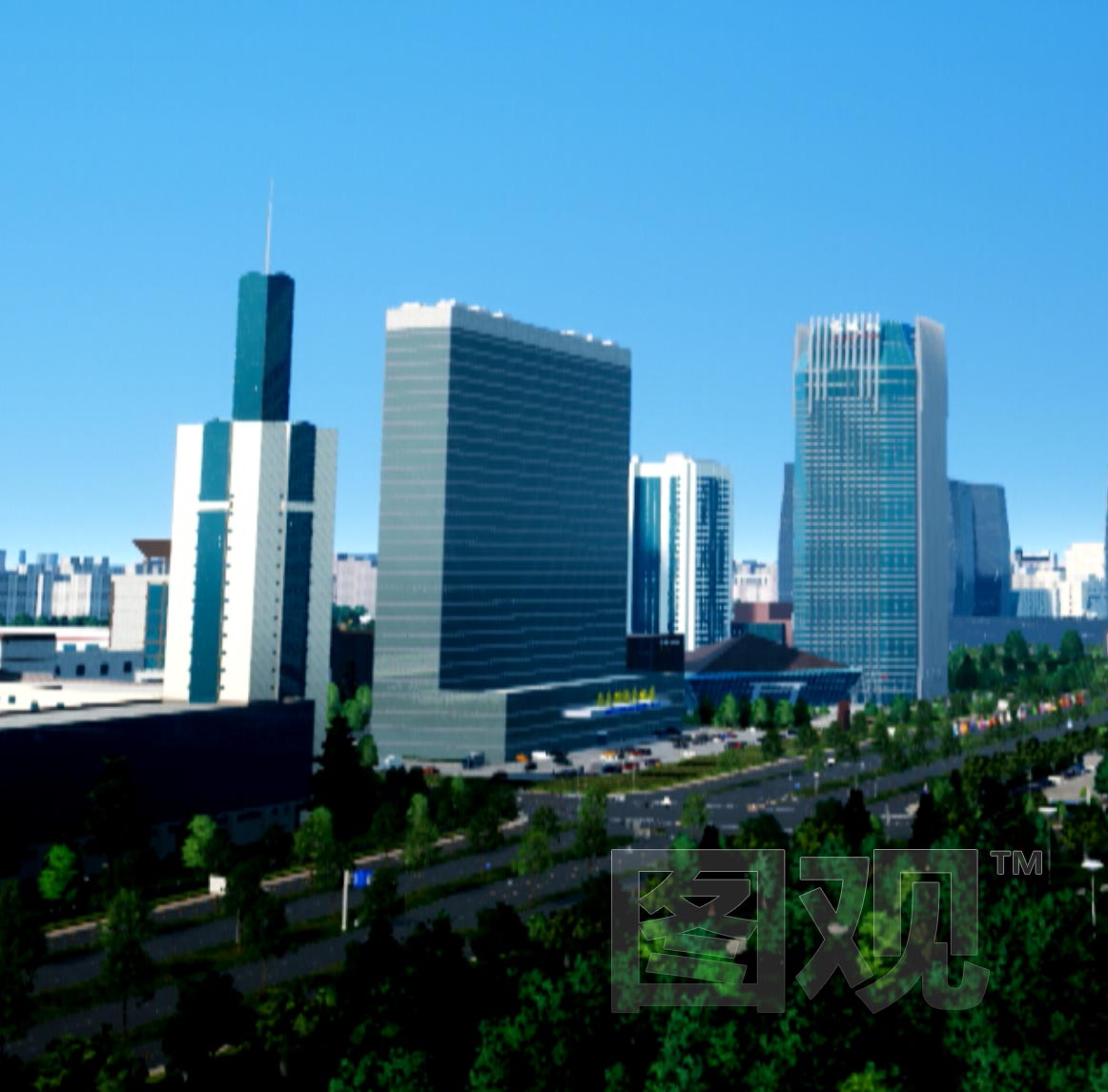
 Extraordinary effect
 Full Toolchain Delivery
 Powerful Functionality
 Cross-platform Support